La Palma is, without exaggeration, one of the finest hiking destinations in Europe. With more than 1,000 kilometres of waymarked trails, landscapes ranging from subtropical laurel forests to steaming volcanic craters, and an elevation range spanning from sea level to the 2,426 metres of the Roque de los Muchachos, this small Canary island offers a variety of experiences on foot that you'll struggle to find anywhere else of its size.
This guide is part of our Full guide: what to do in La Palma, where you'll find all the island's experiences, trails and plans in one place.
Why La Palma is a paradise for hiking
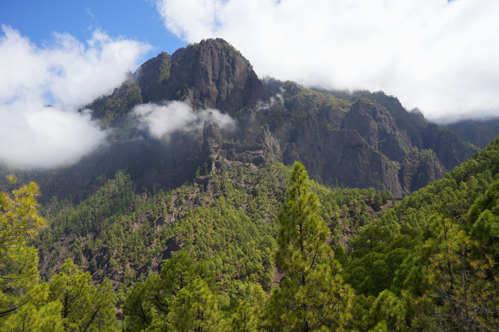
La Palma boasts the most extensive and best-waymarked network of trails in the Canaries. The entire island is a UNESCO Biosphere Reserve and is home to the Caldera de Taburiente National Park. What makes hiking here so unique is the concentration of radically different landscapes within an area of barely 708 square kilometres: the north with its damp laurel forests and deep ravines, the peaks with views literally above the clouds, the south with its recent volcanoes, and the west coast with its dizzying cliffs.
The infrastructure is very well maintained. The trails follow the European waymarking system (GR for long-distance routes, PR for short-distance routes, SL for local trails), maps are available at tourist offices, and the public transport network makes it possible to hike linear routes without having to return to the starting point. All of this makes La Palma an ideal destination for experienced hikers and beginners to trekking alike.
Types of trails: GR, PR and SL
Understanding how trails are classified will help you choose routes suited to your level:
- GR (Gran Recorrido / long-distance route): Long routes, generally over 50 km, which can be walked in stages. The GR-131 crosses the entire island from north to south and is the most iconic. Red and white waymarks.
- PR (Pequeño Recorrido / short-distance route): Routes of between 10 and 50 km, ideal for a single day. These are the most popular in La Palma. Yellow and white waymarks.
- SL (Sendero Local / local trail): Short routes of less than 10 km, perfect for half-day walks or for families. Green and white waymarks.
The best routes by area
We've picked out the most representative routes in each part of the island. For a detailed breakdown with exact distances, elevation gains and times for each one, take a look at our article on the best hiking trails in La Palma.
Centre: Caldera de Taburiente
La Palma's flagship route. A descent into the heart of the National Park to the famous Cascada de Colores, where waters stained by iron minerals create a natural mosaic of oranges, yellows and greens. Medium-to-high difficulty, around 5-6 hours there and back. Landscapes of Canary pine forests, ravines and unique rock formations.
South: Volcano Route (GR-131)
From the El Pilar refuge to Fuencaliente, this traverse follows the volcanic spine of the south, weaving between craters from different eruptions with ocean views on both sides. It's around 17 km of ever-changing volcanic scenery. Medium difficulty. One of the most iconic routes in the whole of the Canaries.
North: Los Tilos and Marcos y Cordero
The Cubo de la Galga and Los Tilos trails wind through the laurel forests of the north-east, a UNESCO Biosphere Reserve. Marcos y Cordero is a one-of-a-kind experience: 13 water tunnels carved into the mountain that you cross with a torch and a rain jacket. Low-to-medium difficulty, depending on the route you choose.
Peaks: Crestería Ridge Route
The route along the rim of the Caldera de Taburiente starting from the Roque de los Muchachos. You walk the ridge at over 2,000 metres with the abyss of the caldera on one side and the ocean on the other. High difficulty; it requires good fitness and a head for heights.
Best time to go hiking in La Palma
La Palma can be walked all year round, but each season has its own character:
- Spring (March-May): The best time overall. Pleasant temperatures, the island is green and in bloom, and the days are long. The chance of rain is low but possible in the north.
- Summer (June-September): Good for the summit routes and the south. The north can have a sea of clouds and humidity. Temperatures in the lower areas can be high.
- Autumn (October-November): Excellent for hiking. Mild temperatures and landscapes with autumnal colours. There may be the odd shower.
- Winter (December-February): The peaks may have snow or ice. The lower and mid-level areas remain accessible. The northern forests are at their most magnificent.
Essential kit
- Footwear: Hiking boots or trainers with good grip. The volcanic terrain can be slippery and uneven.
- Clothing: Layers. Even in summer, temperatures on the peaks can drop dramatically. Always carry a waterproof windbreaker.
- Water: At least 1.5 litres per person. Most routes have no water sources.
- Sun protection: Cream, a cap and sunglasses. UV radiation is high, especially at altitude.
- Map or GPS: Although the trails are waymarked, an offline map or GPS is advisable as a backup.
- Torch: Essential for Marcos y Cordero and advisable for long routes.
- Food: Bring plenty of energy-rich food. The long routes have no refreshment points.
Guided hiking: the Surprise Route
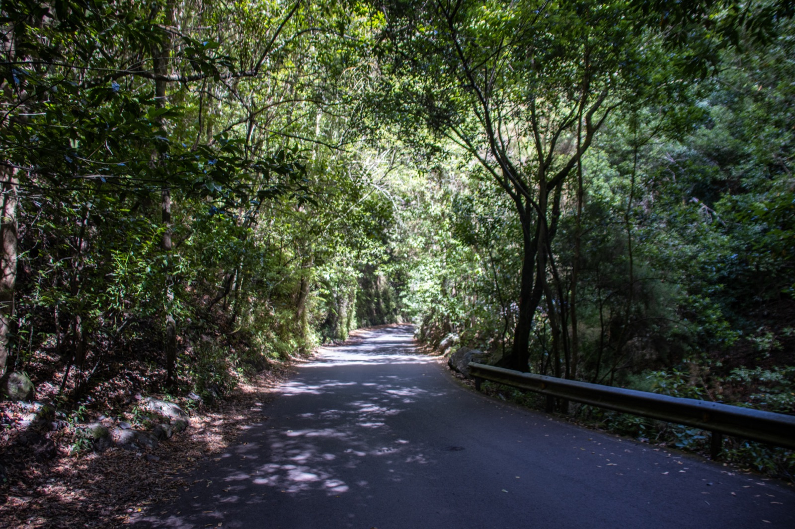
If you'd rather walk with a guide and discover corners that don't appear in the conventional guidebooks, our Surprise Route is something a little different. You don't know where you're going until you get there: our local guides choose the day's route according to the weather, the season and the group's level, taking you to secret spots in La Palma that most visitors never get to see.
It's a way of combining hiking with the thrill of discovery, ideal for those who already know the classic routes or for anyone after a more personal, intimate experience of the island. Every surprise route is unique and never repeated.
Difficulty levels: choose your route
To help you pick the right route, here's a quick classification by difficulty:
- Beginners and families: Cubo de la Galga, San Antonio Volcano, the Los Tilos forest trails. Short routes with little elevation gain and spectacular scenery.
- Intermediate level: Caldera de Taburiente, Volcano Route, Marcos y Cordero. These require good fitness and a full day.
- Experienced hikers: Crestería Ridge Route, the full GR-131. High-mountain routes with significant elevation gains and exposure.
Final tips
- Always check the weather forecast before setting off, especially for summit routes.
- Let someone know your planned route if you're walking alone.
- Stick to the waymarked trails and don't take shortcuts across volcanic terrain.
- Don't leave litter on the mountain. Bring a bag for your rubbish.
- A permit is required to camp in the Caldera de Taburiente National Park.
- Book access to the Mirador de la Cumbrecita if you're travelling in your own vehicle.
Hiking is one of the best ways to get to know La Palma, but it's not the only one. Combine your walks with a kayak excursion along the coast to discover the island from the sea too, or take a look at our excursions in La Palma to see all the available options. Plan your whole trip with our 3-day and 7-day itineraries.